News Watch
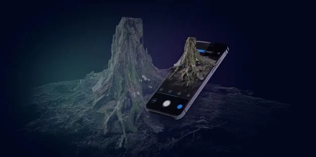
Get real: RealityScan iOS app now available
Re-creating reality models from photos is free and easy—just pick up your phone. RealityScan is a free 3D scanning app ...
Featured
Matterport for Android: create immersive 3D digital twin of any physical space
Matterport for Mobile is an interesting 3D camera app that lets you capture and create an immersive 3D digital twin ...
News Watch
WWDC21: Apple announces Object Capture API for creating AR experiences
Unity will launch the Object Capture API in its AR Companion app later in 2021. At WWDC21, Apple previewed its ...
Featured
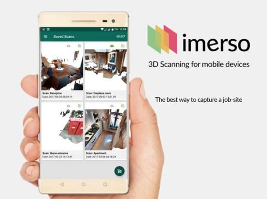
Imerso’s browser-based 3D scanner and BIM management tool
Imerso allows for the scanning and monitoring of a building site through your web browser. Imerso recently revealed new details ...
Archives
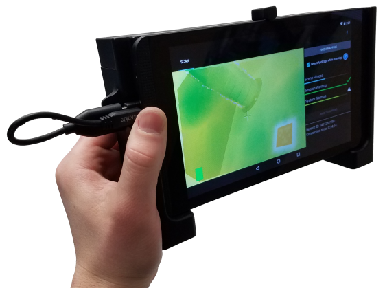
DotProduct unveils Handheld 3D imaging anywhere, anytime, anyplace
The new DPI-8X works with an Android tablet to offer a more portable option for project scanning. DotProduct recently released ...
Archives
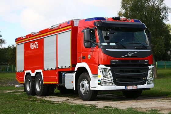
Turning trucks into emergency vehicles with 3D technology
A SmartTech 3D scanner and Geomagic Design X help a small Polish manufacturer customize 100 vehicles a year. Too often ...
Archives
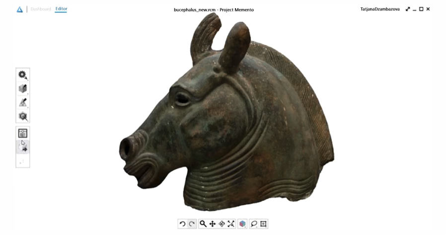
Reshaping reality: Autodesk updates Memento
Autodesk's Memento is part of the company's mission to change the way content is created and products get built. The company used Real 2015 to show off the latest version of Memento and offer it as a Beta.
Archives
Matterport brings 3D cloud tools to the masses soon
Cloud-based point cloud camera to shrink in size and price. As the Matterport Pro 3D camera gently spins, it captures ...
Archives
Geomagic/3D Systems deal accelerates the digital reality revolution
3D Systems, Stratasys, and EOS divvy up competitive territories. 3D Systems makes bid for Geomagic and expands software play. By ...
Archives
3D Systems to acquire Geomagic
Making good on its recently announced fifth growth initiative, 3D Systems will own the top two technologies for scan-to-CAD. 3D ...